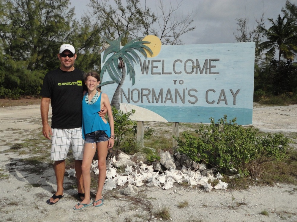
Arrival in Warderick Wells

By Kevin

Dsc02590Dsc02582Dsc02581Dsc02595Dsc02592

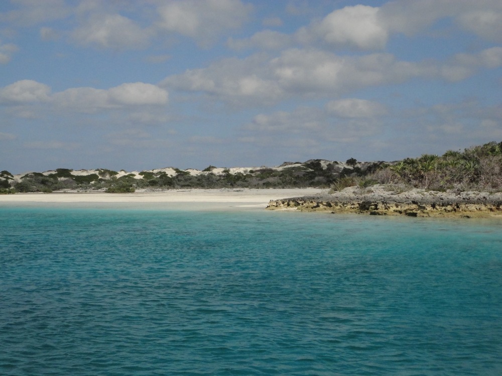
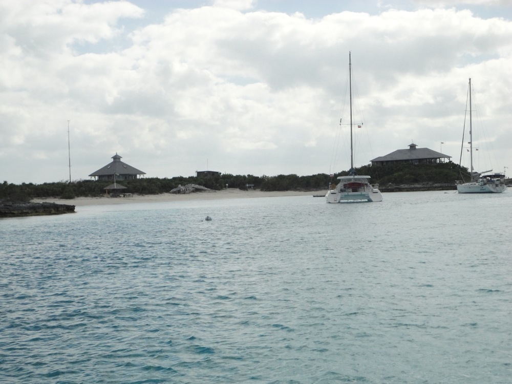
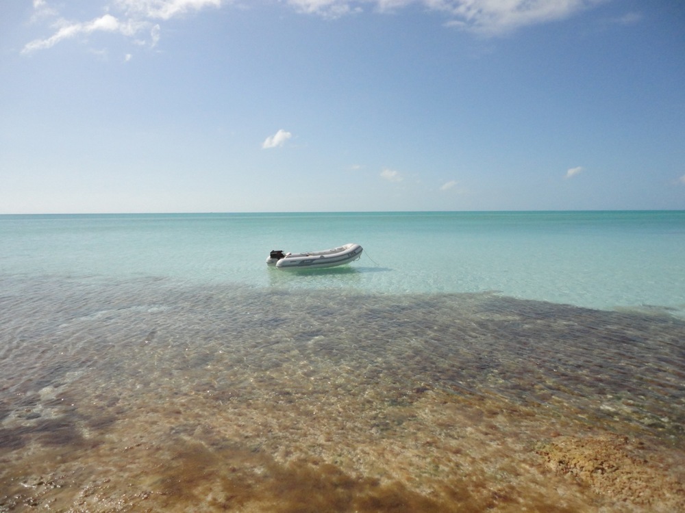
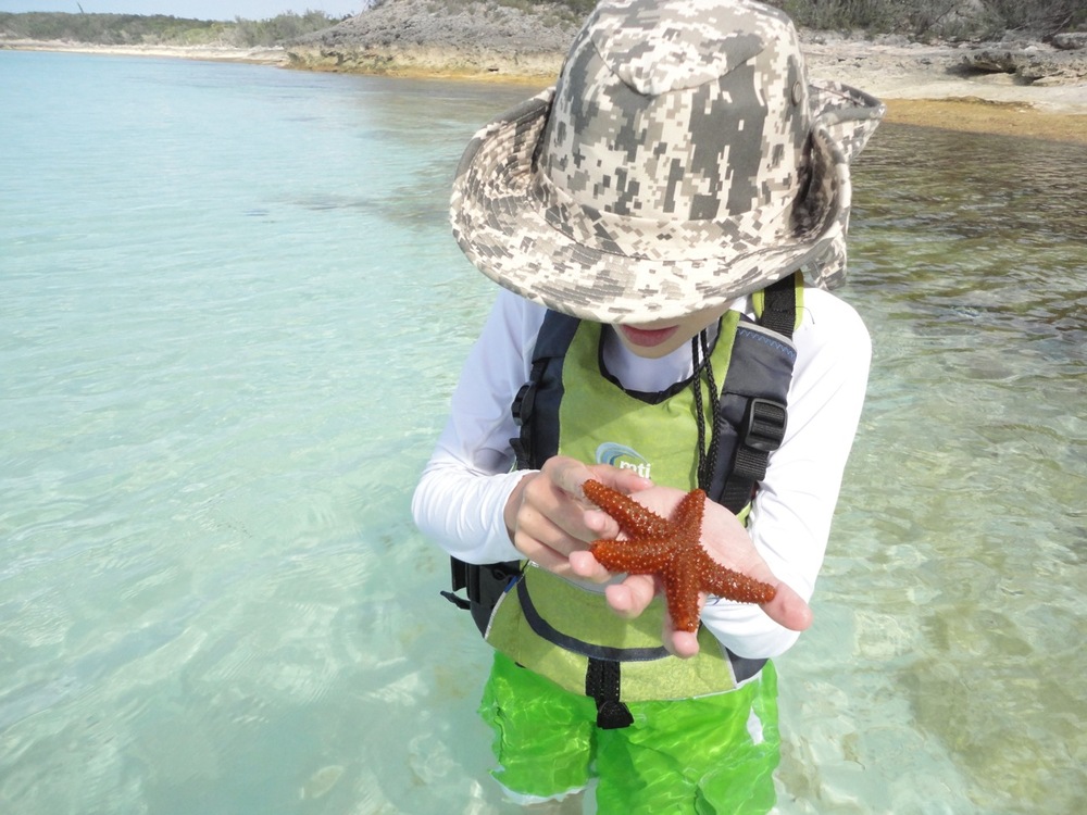
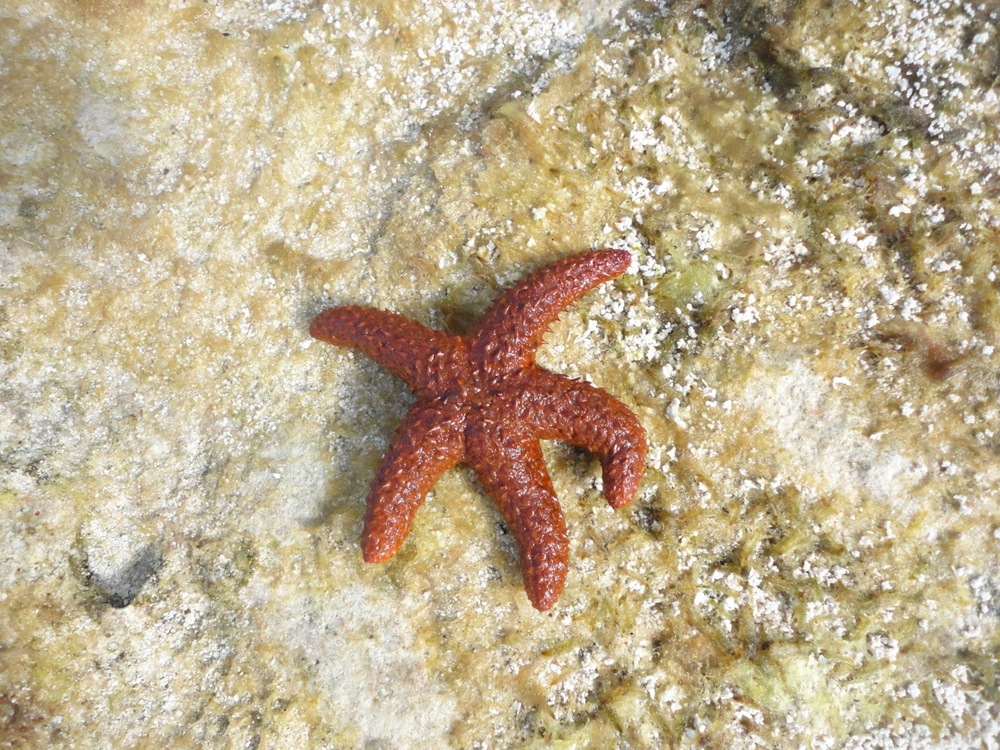
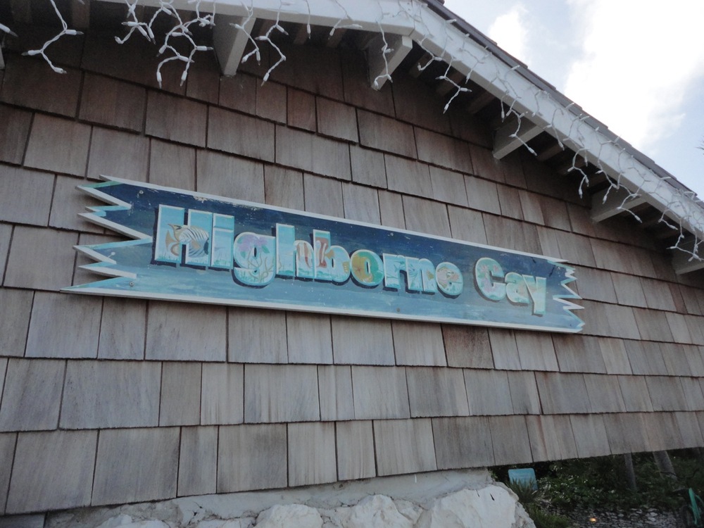
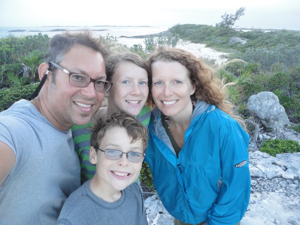
We had a smooth passage to Warderick Wells, which is the island that houses the Exuma Land and Sea Park headquarters. This large park of protected waters and islands is a gem in the heart of the Exumas. It is one of the few places left in the Bahamas where the lobster will practically walk out of their holes to greet you. The conch and grouper are plentiful.

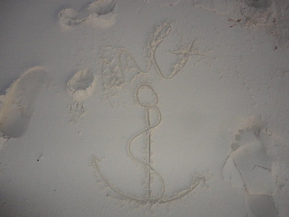
But the catch: You can only take pictures…and you can only leave footprints.

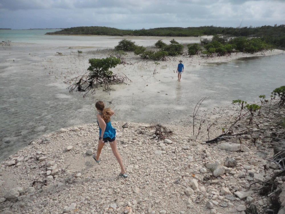
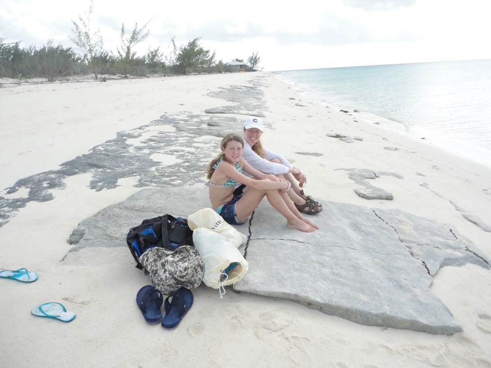
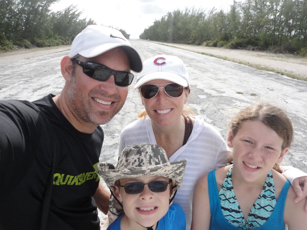
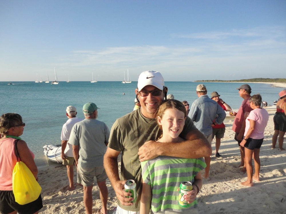
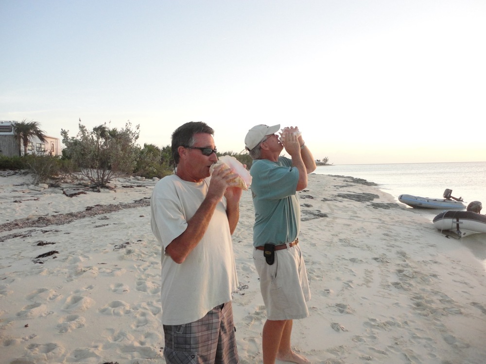
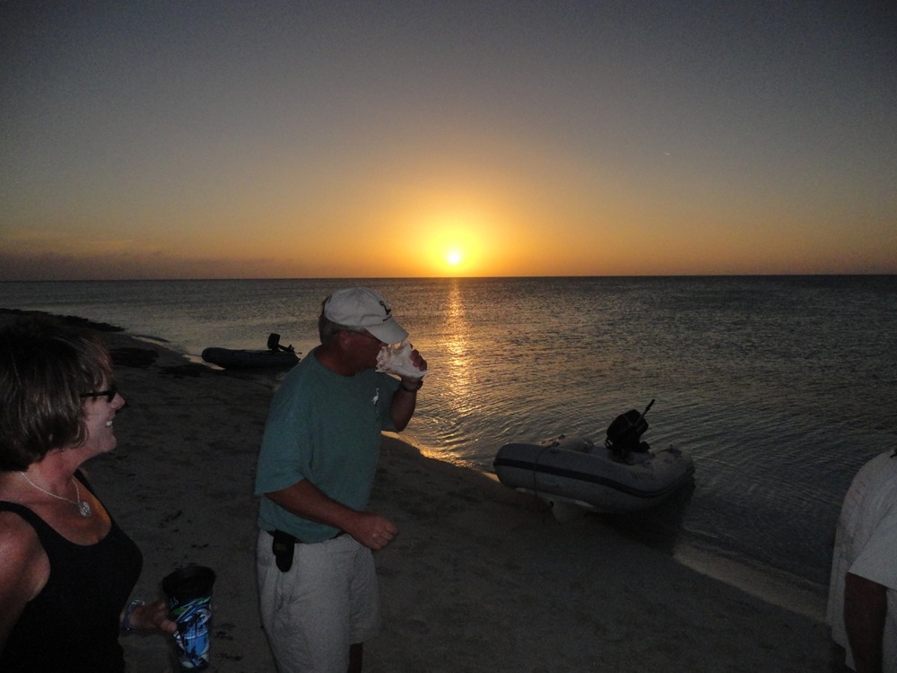
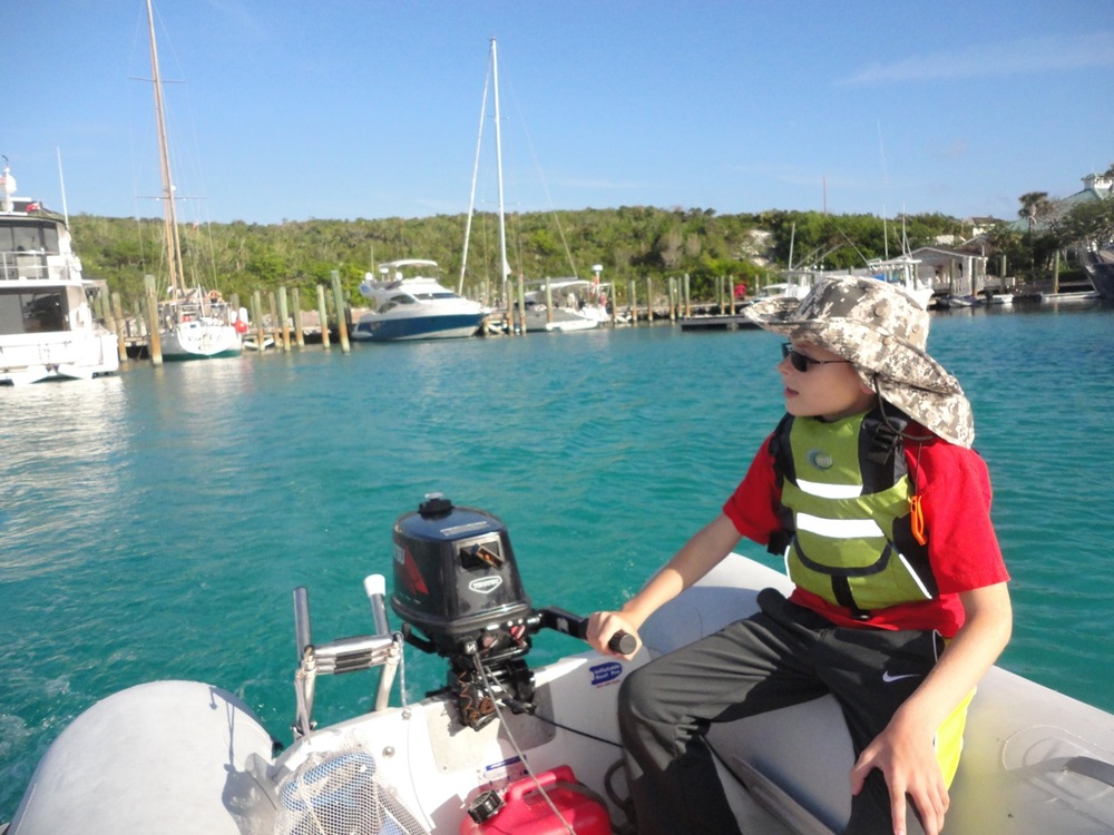
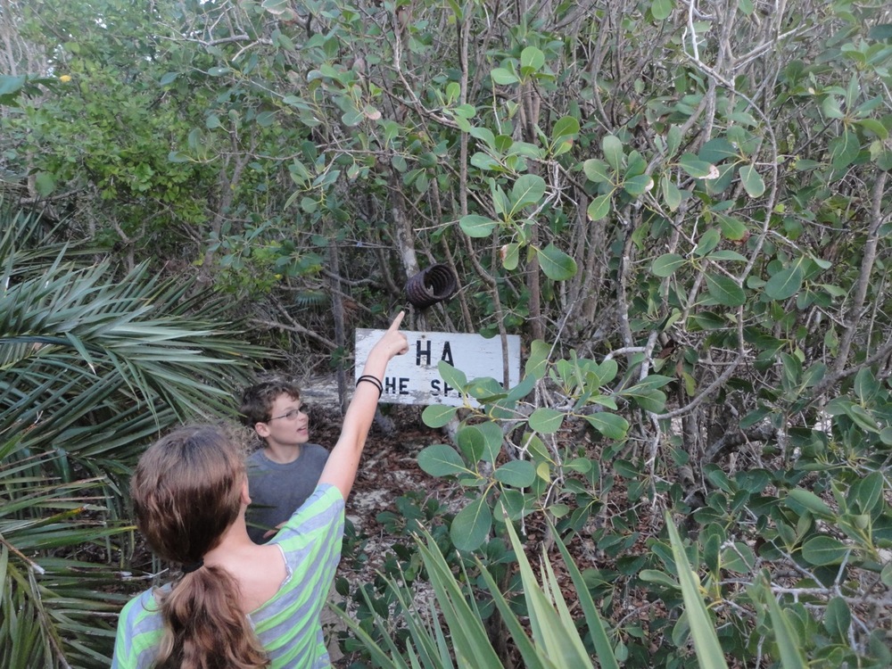
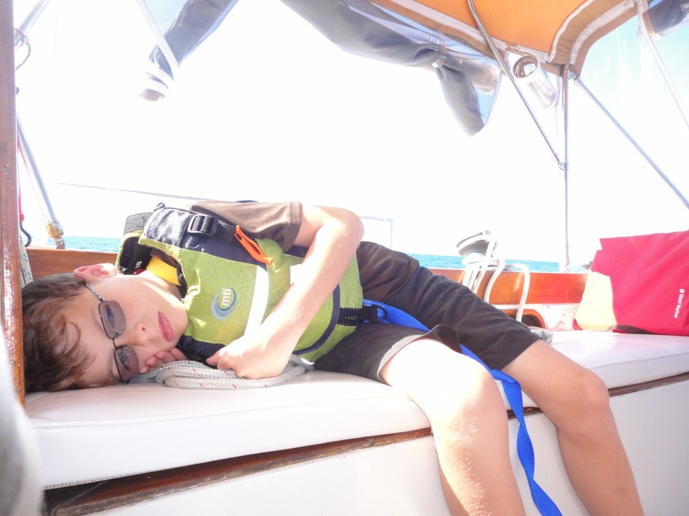
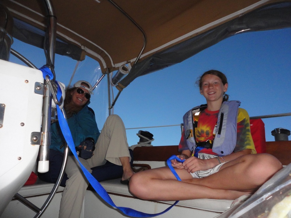
We stayed in Warderick Wells, attached to a nice mooring ball, for 4-5 nights. We wandered trails, snorkeled coral heads, and enjoyed late afternoon sundowners with a few of the boats that we’ve met on the trip.

The kids even met up with a 12 and 9 year old aboard S/V Dulcinea, an Austrailian sailing yacht that was stopped over in Warderick Wells while en route to Singapore.

Arrival in Normans Cay

By Kevin

Dsc02553Dsc02557Dsc02554Dsc02555

Highbourn Cay Marina was beautiful…but expensive. It was time to head back to an anchorage, so we pointed the boat south toward Normans Cay.

The sail was brisk, alternating between a beam reach and close reach in 20 knot winds out of the east. Real Life did well, averaging 6.5 knots with bursts to nearly 8, powered by the staysail and main.

Normans has several anchorages, the most popular being in the “cut” between the deep water of the Exuma Sound and the shallow water of the Bank. But, the wind was blowing hard and the surge was strong, making that anchorage uncomfortable.

Instead, we anchored with 15 other boats on the southwestern anchorage, just off a beautiful sandy beach that runs in a north to south direction. Well, we arrived at the right time because an hour after securing the anchor, we heard Tim on S/V Magic inviting all the cruisers to meet for sundowner drinks on the beach.

Hey! Our first beach sundowners. Even though we were pretty tired, we headed over and met some great people, including Tim and Diane (S/V Magic) and Jennings and Patty (S/V Veritas). Tim and Jennings have a tradition of blowing their conch horns each evening at sundown (though not strictly enforced).

Fishing Off Highbourn Cay

By Kevin


The Exumas stretch for about a hundred miles in a northwest to southeast direction. On the west side of the island chain is the Great Bahama Bank, which has an average water depth of only 15-20 feet and lots of coral heads and reefs. Unfortunately, there are not many different kinds of sportfish on the bank. The best eating fish will be grouper, snapper, triggerfish, and a few others. Mostly though, if you are trolling a line, you’ll catch barracuda, which the locals eat but I am not interested in (see ciguatera).

The best fishing is on the east side of The Exuma islands. This body of water is the Exuma Sound and is an extension of the Atlantic Ocean. The charts show that the water depth drops off from 30-60 feet to several thousand feet within a few miles of shore. Most of the sportfishermen fish “the dropoff,’ which I understand is the area where the depth goes to about 100 feet or so. This is an area with a wealth of sportfish, including tuna, mahi-mahi, wahoo and shark, to just name a few.

So, Zach and I decided to take our dinghy out in the Exuma Sound and troll with a line at around 30-40 feet to see what we could come up with. The sea state was a bit too rough for us to go out any deeper.

After 30 minutes we had a strong bite but lost it in the struggle.

4th Grade Geography Class

By Kevin

Dsc02522

We’ve been happy with the homeschool curriculum we’re using from Calvert. But, one of the benefits of homeschooling on a sailboat is that we have nearly innumerable opportunities to expand and modify both of the kids’ studies.

For instance, Zach in 4th grade is studying maps. Cardinal, ordinal and relative directions, how to measure distances, etc. When we get done with one of these lessons in his workbook, I pull out the nautical chart that contains our current location and we put his newfound knowledge to work on the real chart. He might measure the distance to our next destination or he might use a compass and parallel rule to plot out an actual route.